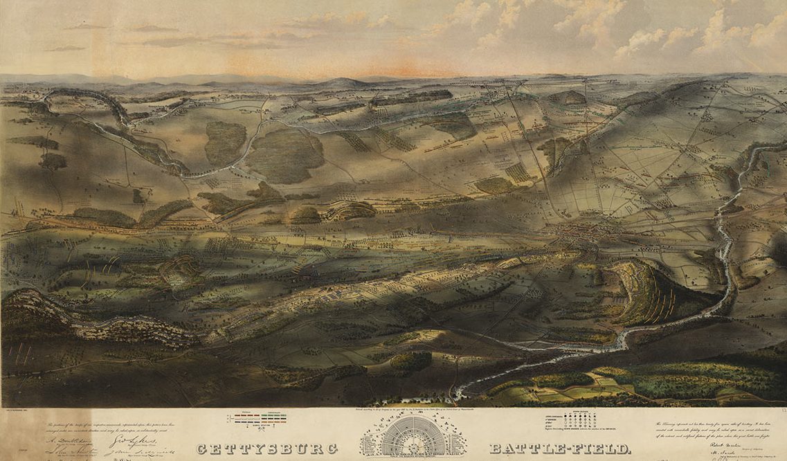
The Harvard Map Collection can be completely overwhelming, with its collection of 400,000 maps. The trove of documents is so extensive that it’s probably best to limit yourself to one specific focus before you even approach it. Enter the National Park Service Centennial.
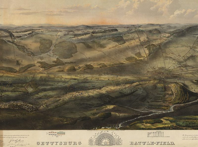
There have been many remarkable celebrations of the 100th birthday of our National Park Service (we particularly liked this one). But Harvard’s decision to highlight vintage maps of the parks system is a remarkable tribute to our nation’s protected lands—as well as the art of mapmaking itself (just marvel at the 1863 Gettysburg map above).
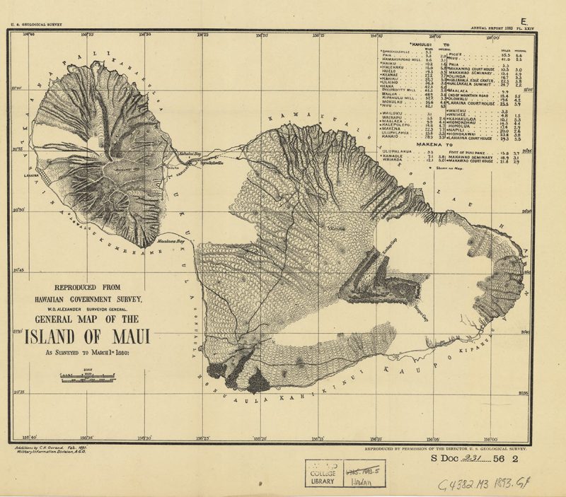
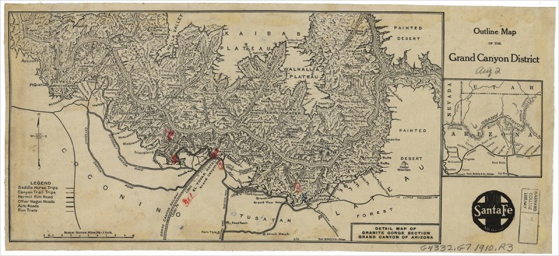
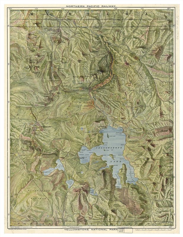
Harvard generously shared maps of the Grand Canyon, Gettysburg, Yellowstone, Yosemite, and Maui with us. Besides their historic significance (the Maui map is from 1893, 66 years before it actually became a state), these maps are in their own way almost as striking and beautiful as the places they document.
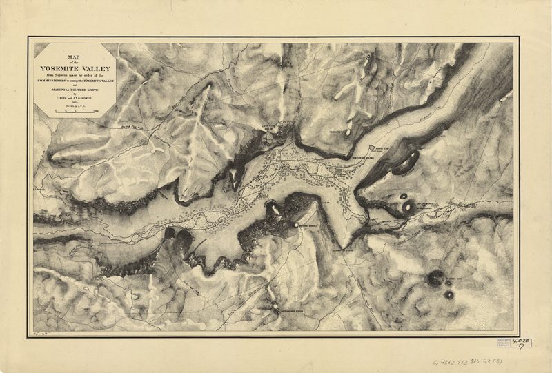
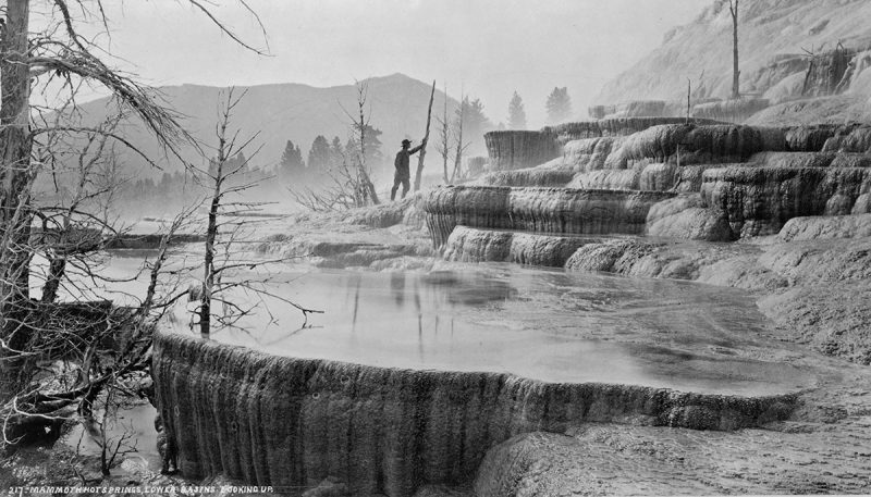
In particular, the 1871 Yellowstone map below is a remarkable creation, complete with color. (At the bottom is a photo from Yellowstone taken around the same time.) Take a moment to enjoy them and, should you be in the Cambridge area, here are some upcoming Harvard College Library exhibitions.
This article was featured in the InsideHook newsletter. Sign up now.
