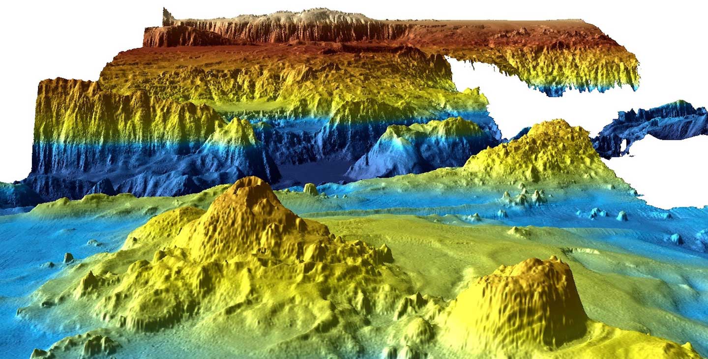
It won’t bring comfort to the families of those lost Flight MH370, but the search for the missing Malaysia Airlines plane yielded surprising discoveries.
The Australian government released the data collected during its scrutinous search for MH370 wreckage on Wednesday, revealing information that could prove useful to fisheries and geologists.
When the plane went missing in 2014, an international search scoured the seabed using high-tech equipment for nearly three years. When unsuccessful search ended in January of 2017, it had turned the 46,000 square miles of ocean floor into one of the most thoroughly mapped sections of the Indian Ocean.
Reuters reports this data holds secrets that may shed light on how the ancient supercontinent of Gondwana broke apart and help scientists predict how tsunamis might affect the region.
The info will be a boon to fisherman looking for tuna, toothfish, orange roughy, alfonsino, and trevally, according to Reuters. The high-priced fish often hunt for plankton swimming in currents formed by seamounts.
Researchers discovered submerged mountains as a tall as Mount Everest and a wide valley riddled with volcanoes for miles. The Australian government agency releasing the data said only 10 to 15 percent of the ocean floor is mapped in such precise detail.
This article was featured in the InsideHook newsletter. Sign up now.
