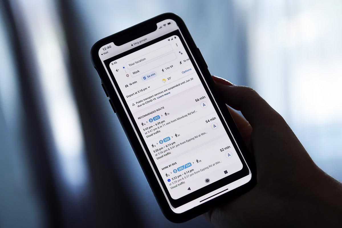
If you’re physically shopping somewhere this year for gifts — be safe, shop local, etc. — Google Maps has a number of semi-hidden tools and hacks that can help you get you what you need and where you need to go without having a breakdown.
On Google’s official blog this week, Amanda Leicht Moore (the Director of Product for Google Maps) highlighted several new tools designed with holiday shopping in mind. Ignoring her plea that the season is making her “santa-mental” (is that … good?), it seems like safety and interior mapping are the new focus points for Maps.
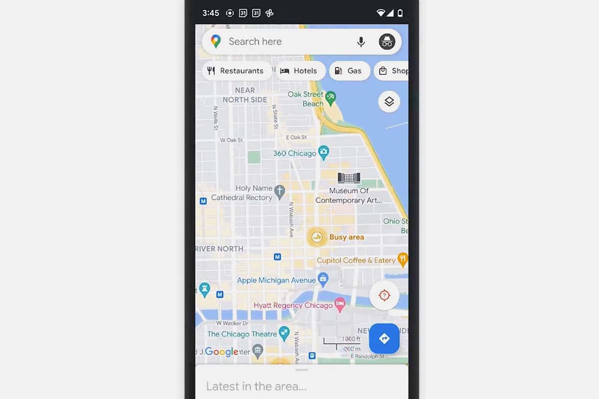
The new features, available on the mobile apps now or “in time for this holiday season,” include Area Busyness, which helps users spot when a neighborhood or part of town is near or at its busiest — you may recognize this notification, although before it was confined to individual businesses or public transit. You can also tap on the neighborhood in question to see what time of day the area is busiest (or not).
Already out shopping? Flying somewhere? Google Maps now has expanded information on the stores within airports, malls and transit stations, from location to store hours. Previously, some of this information was hidden; the malls would, for example, previously show up just as a single building. To access more information on the stores within these buildings, hit the “Directory” button.
Meanwhile, in some states and cities you now have access to Pickup with Google Maps, which allows customers who have placed orders at one of about 2,000 Kroger Family stores to track the order status, share an ETA and let the store know you’ve arrived, all from the app.
Besides these new features, Google also published a more general guide this week to using Maps during the holiday season; among their suggestions include plotting eco-friendly routes when you drive and paying for street parking or public transit right from the Google Maps app.
Thanks for reading InsideHook. Sign up for our daily newsletter and be in the know.


